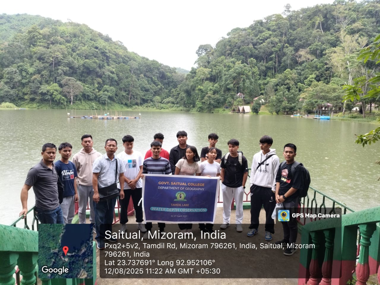
With the interest of the development, management, and preservation of the wetland areas. Faculty members, Department of Geography, I Semester and V Semester Geography core students of the Government Saitual College, conducted the observation of water depth and volume of water discharge of Tamdil Lake on 12th August, 2025.
It is also observed that the perimeter of water boundaries (estimated) is 77186 meters and the area of the actual water boundary is 391,094 ft2.
Observation Date: 12th August, 2025
Depth Observation: –
Method Used: Weighted Rope Method
Number of Stations: 5 Stations
Average Depth: 14.03 Feet
Deepest point: 16.7 Feet
Water Discharge: –
Method Used: Digital Flow Meter, Zhong Jiang.
Reading: 52 Liters / Second
Depth readings of different points of Tamdil Lake.
| Station | Latitude/Longitude | Reading |
| 1 | 23o 44’ 21” N Latitude/ 92o 57’ 11” E Longitude | 12.1 Feet |
| 2 | 23o 44’ 21” N Latitude/ 92o 57’ 10” E Longitude | 10.3 Feet |
| 3 | 23o 44’ 17” N Latitude/ 92o 57’ 08” E Longitude | 16.7 Feet |
| 4 | 23o 44’ 16” N Latitude/ 92o 57’ 09” E Longitude | 15.9 Feet |
| 5 | 23o 44’ 19” N Latitude/ 92o 57’ 09” E Longitude | 15.6 Feet |